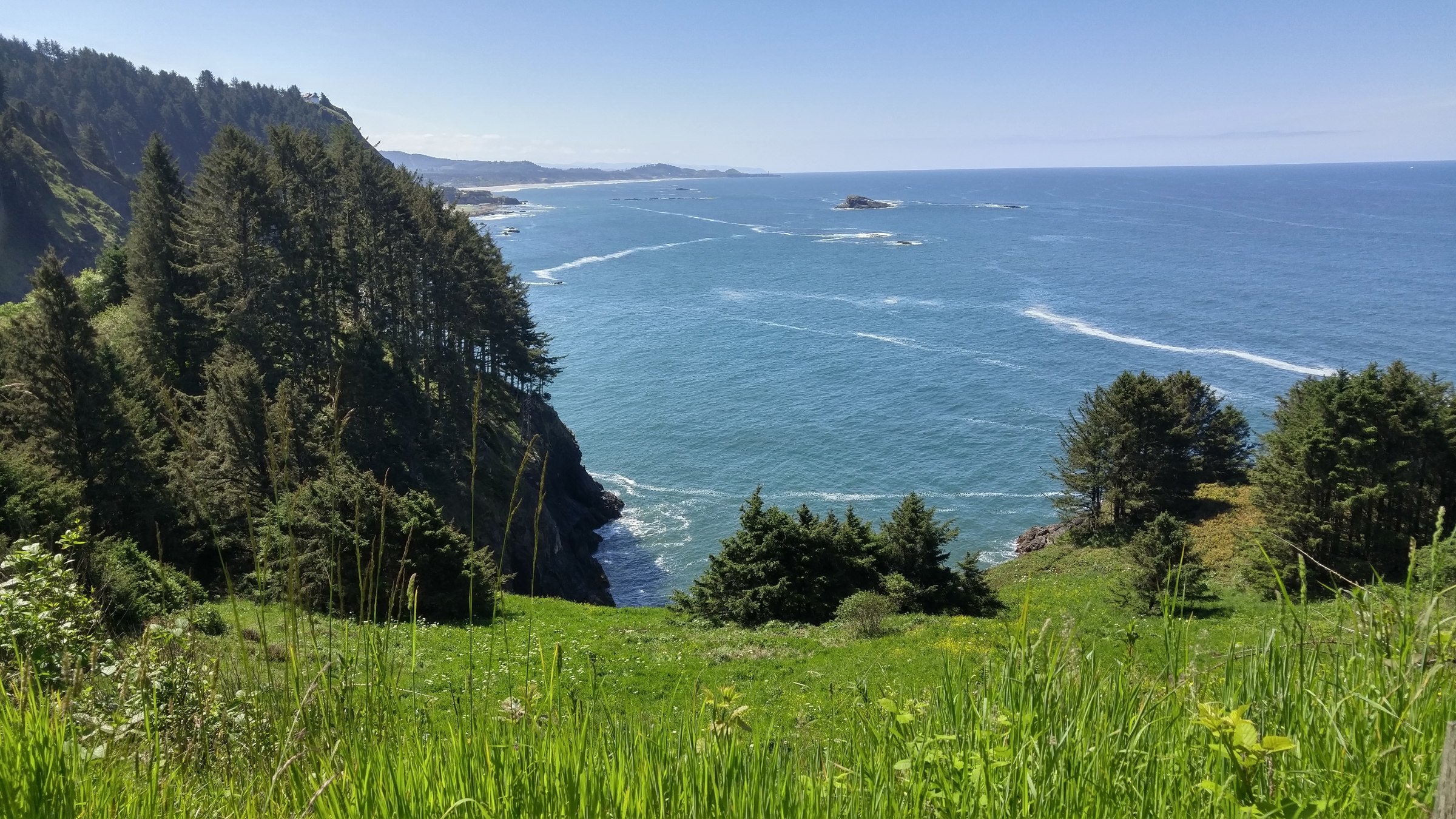
Just south of Depoe Bay, Cape Foulweather rises 500 feet above the ocean, creating fantastic views of the Central Oregon coast. It is given the moniker “where Oregon began” as it is the first land formation seen by Captain Cook on that fateful voyage in 1778. While it was named for the terrible weather conditions Cook encountered here, this basalt headland is a true gem of Oregon’s natural beauty. Standing at the viewpoint on a calm and sunny summer day, you are more than likely to have unbeatable views of Gray whales cavorting and feeding in the abundant kelp beds below.
Looking south from the cape viewpoint you are treated to a stunning view of the famous Devil’s Punchbowl and the craggy beaches of Otter Rock. The Punchbowl is a spectacular and imposing cave that is inundated with water during high tide. During these tide events, the bowl churns and roils the ocean water angrily, creating fascinating and awe-inspiring viewing. Gulls and Cormorants are commonly seen as they move to and from Gull Rock in the distance.
On the other side lies a one-way road that winds its way up the north side of the cape. The Otter Crest Loop Road begins near Rocky Creek and Rodea Point and gives one spectacular view after another.
The road up offers a nice respite from the traffic of Highway 101. Whether biking or driving, take in the ancient and dramatic forest scenery and enjoy those clifftop views.


